
Spatial computing for real estate: practical viewing choices
Explore practical spatial computing choices for real estate, distinguishing captured spaces from interactive architectural proposals using Novo projects.
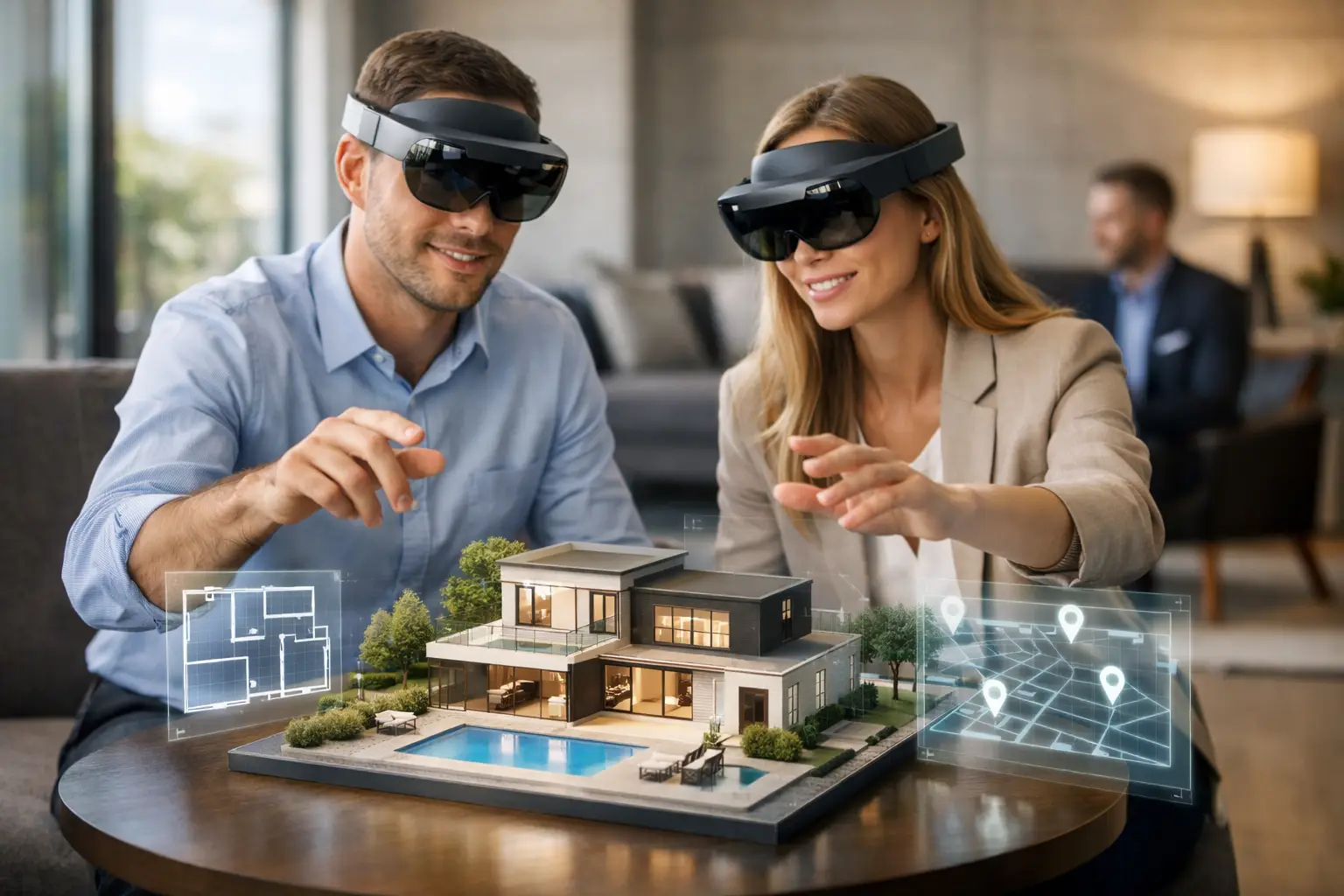
Spatial computing in real estate can describe several ways of interacting with a representation of space. Start with the buyer's task and the available source information, then distinguish an existing-space capture from a model of a proposed development.
Which spatial experience fits the property decision?
A buyer can scroll twenty listings in minutes and still have no real sense of ceiling height, circulation or how a lobby relates to its surroundings. Spatial computing for real estate closes that gap by turning a physical property into an interactive digital environment that can be explored, measured and shared before anyone visits.
Spatial computing is the use of digital technology to understand and interact with real space. In property it combines 3D capture, LiDAR, 360 imagery, digital twins, measurement and aerial context. The result is not a gallery of photos. Photography is designed to present a space; spatial data is designed to represent it. The strongest programmes use both: imagery creates desire, an accurate environment gives decision-makers the confidence to proceed.
Static listings create friction when a property is large, unfinished, distant or hard to explain, which is exactly the case for offices, industrial facilities, hotels and mixed-use developments that need several approvals before a visit is even possible. An immersive experience gives sales teams an asset for those early conversations, and it tends to improve the quality of enquiries rather than just the volume.
A digital twin is often called a virtual tour, but that understates it. A good twin combines 360 views, a dollhouse model, floor plan navigation, annotations and measurement, so a residential buyer can judge proportions and finishes and a commercial tenant can circulate the space to operations, finance and leadership without repeated site access.
The right capture method follows the decision. A 360 tour suits a show unit or hospitality suite; Matterport adds intuitive navigation for marketing; LiDAR matters where measurement, renovation or Scan-to-BIM is involved; drone adds access, scale and surroundings for land and large sites. The question is never which technology looks most advanced, but what a buyer, tenant or asset manager needs to understand to make the next decision.
The return appears across the journey: stronger engagement in marketing, more specific follow-up in sales, easier option comparison in leasing, and a trusted visual record for renovation, handover and maintenance. It should be measured against the intended use, distributed into listings, decks and outreach rather than buried on a website, and kept honest about limits, since a marketing twin does not replace a certified survey where measurements drive contractual decisions.
Key points
- What spatial computing means in property
- The digital twin as a sales and leasing asset
- Accurate capture determines the value
- Where the return shows up
Real Novo projects relevant to this guide
These projects show different recorded viewing formats. Their listings do not establish wearable-device deployment, live operational data or a measured sales effect.
Acacia Height — Interactive WebGL walkthrough. An architectural model converted into a self directed walkthrough for desktop and mobile browsers.
The Fairway at Sebana Cove — Matterport 3D virtual tour. Explore the villa layout before a sales enquiry.