

What Determines LiDAR Stockpile Accuracy?
LiDAR stockpile accuracy depends on survey design, point density, ground control, and volume methods. Learn how to plan measurements you can trust daily.
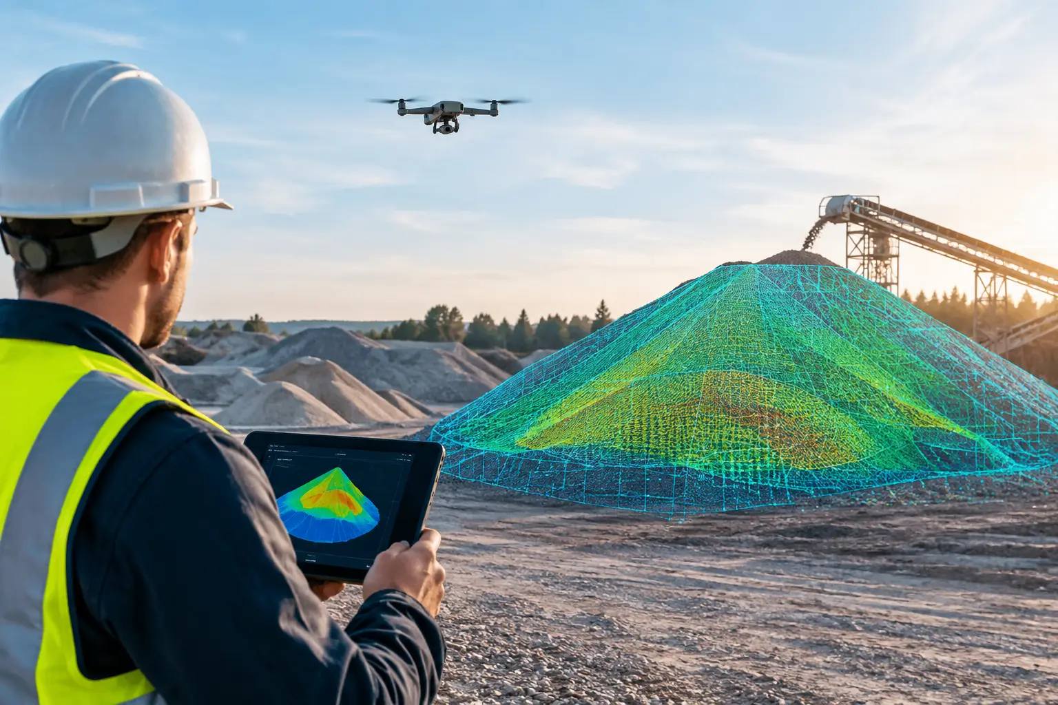
LiDAR stockpile accuracy depends on survey design, point density, ground control, and volume methods. Learn how to plan measurements you can trust daily.
What Determines LiDAR Stockpile Accuracy?
A stockpile volume can influence purchasing, production planning, contractor payments, and financial reporting. That makes LiDAR stockpile accuracy more than a technical specification. It determines whether a site team is making decisions from defensible quantities or working from estimates that conceal avoidable risk.
LiDAR gives quarry, construction, industrial, and material-handling teams a faster way to capture large, difficult-to-access stockpiles. But the technology does not automatically guarantee a correct volume. The final result depends on the capture method, survey control, terrain visibility, processing decisions, and the reference surface used to calculate cubic volume.
For decision-makers, the objective is straightforward: obtain measurement data that is accurate enough for its intended commercial or operational use, with a clear record of how that accuracy was achieved.
What LiDAR Stockpile Accuracy Actually Means
Accuracy describes how close a measured point or calculated volume is to the true value. Precision, by contrast, describes repeatability. A scan may produce highly consistent results on repeated flights while still carrying a consistent vertical offset if the positioning workflow is weak.
This distinction matters because stockpile measurement is a chain of calculations. LiDAR first records millions of points across a material surface. Those points are classified, filtered, aligned to a coordinate system, and converted into a surface model. Software then compares that surface with a base surface to calculate volume.
An error introduced at any stage can affect the final figure. A small vertical bias spread across a large footprint can create a meaningful difference in cubic meters. The impact depends on the pile’s size, slope, material profile, and the financial value attached to every unit of material.
There is no single accuracy figure that applies to every project. A weekly operational check for aggregate inventory may have a different tolerance from a final contractor valuation, regulatory report, or reconciliation of high-value mineral stock. The right specification should reflect the decision being supported, not simply the headline specification of a scanner.
The Variables That Control LiDAR Stockpile Accuracy
Survey control and positioning
Accurate control is the foundation of reliable stockpile measurement. For drone-based LiDAR , this commonly involves RTK or PPK positioning supported by surveyed ground control points and independent checkpoints. Ground control helps establish the survey coordinate system, while checkpoints provide an objective way to test the finished dataset.
Control should be stable, well distributed, and placed where it can be clearly identified in the point cloud. Clustering all targets near one side of a site may produce acceptable results locally while allowing distortion elsewhere. On a large quarry, port, or industrial yard, the control strategy needs to account for the full survey extent and elevation range.
A professional deliverable should distinguish between control used to adjust the model and checkpoints held back for validation. Reporting only the fit to control points can give an overly optimistic view of accuracy.
Point density and surface coverage
LiDAR works by sending laser pulses and measuring their return. Higher point density generally provides a more detailed representation of irregular pile surfaces, sharp crests, benches, and localized voids. It does not, however, compensate for poor georeferencing or an unsuitable flight plan.
Material type also affects the required density. Fine sand or uniform crushed aggregate can often be modeled effectively with less detail than broken rock, scrap metal, timber, or mixed demolition material. Complex surfaces benefit from sufficient overlap and scan angles that reduce shadowed areas on steep pile faces.
The aim is not to collect the largest possible dataset. Excessive density increases processing time and file size without always improving the final volume. A fit-for-purpose plan balances detail, site size, turnaround requirements, and the level of confidence required.
Occlusions, slope, and inaccessible faces
Every remote sensing method has blind spots. A LiDAR sensor cannot measure a surface it cannot see. Conveyor structures, retaining walls, parked machinery, vegetation, overhangs, and steep pile geometry can block laser returns and leave gaps in the dataset.
Interpolation can fill small gaps, but it is an estimate rather than a direct measurement. If a stockpile has hidden faces or material stored against a wall, a drone flight may need complementary terrestrial LiDAR scanning or a revised capture path. This is one reason a site walk and survey plan should come before mobilization.
Safety is part of the accuracy conversation. Conventional ground surveys may require personnel to climb unstable piles or work close to heavy equipment. Drone LiDAR can reduce exposure while capturing broad coverage, but flight safety, exclusion zones, and active site operations still need to be managed carefully.
The base surface beneath the pile
Stockpile volume is not measured in isolation. It is measured above a defined base. If the base is wrong, the volume is wrong even when the top surface is captured perfectly.
The strongest option is an established pre-stockpile ground model captured before material is placed. Where that is unavailable, survey teams may use surveyed toe lines, engineered pad elevations, historical terrain data, or a modeled base based on site conditions. Each approach carries a different level of certainty.
This is especially relevant when stockpiles are moved, merged, or spread across uneven ground. A flat base assumption may be practical for a temporary operational estimate, but it may not be appropriate for financial reconciliation. The deliverable should state the base method clearly so stakeholders understand what the volume represents.
From Point Cloud to Defensible Volume
Processing is where raw spatial data becomes a usable operational asset. The point cloud must be cleaned of noise and non-stockpile objects such as vehicles, conveyors, people, and temporary equipment. The stockpile boundary must then be defined consistently.
Boundary selection can materially change results. Including a wide toe area may capture spilled material, while drawing the boundary too tightly can exclude valid material at the edge. For recurring surveys, using documented boundaries and a repeatable methodology makes period-to-period comparisons more meaningful.
The surface model should also match the material and purpose. A triangulated irregular network can preserve detailed geometry, while gridded models can offer standardization for repeated reporting. Neither approach is universally superior. The right choice depends on pile shape, scan density, and reporting requirements.
Quality assurance should include visual inspection of the point cloud and surface model, comparison against independent checkpoints, review of gaps or artifacts, and confirmation that units and coordinate systems are correct. A volume report without this context may look precise, but it gives management limited basis for judging confidence.
Choosing the Right Capture Method
Drone LiDAR is often the most efficient choice for large outdoor stockpiles, active quarries, construction sites , ports, and industrial yards. It can cover extensive areas quickly, limit time around moving equipment, and produce a broader site model that supports drainage assessment, progress tracking, and planning.
Terrestrial LiDAR can be valuable where pile faces are steep, visibility from above is limited, or detail is needed around structures and confined areas. In some projects, combining aerial and terrestrial datasets provides more complete coverage than either method alone.
Photogrammetry can also support stockpile measurement, particularly where surface texture is strong and conditions are favorable. Its performance can be affected by poor lighting, uniform materials, dust, and limited ground control. LiDAR is often preferred when a project requires direct range measurements and dependable surface capture across varied lighting conditions, but the most suitable solution still depends on the site and required tolerance.
For organizations managing multiple locations, consistency matters as much as single-survey accuracy. Using the same coordinate reference, base-surface logic, reporting format, and validation approach across sites creates data that can be compared with confidence.
Turning Accurate Volumes Into Better Decisions
A verified LiDAR survey can do more than provide a cubic-meter figure. It can create a time-stamped digital record of stockpile condition, location, footprint, and change over time. When captured consistently, this information supports inventory reconciliation, production tracking, haulage planning, claims documentation, and discussions with contractors or suppliers.
The commercial value comes from shortening the distance between field conditions and management action. Instead of waiting for manual estimates or relying on inconsistent methods, teams can review a documented spatial model and make decisions from the same source of truth.
Novo Reperio approaches LiDAR mapping as part of a broader digital spatial workflow. The aim is to provide usable outputs for operational teams, project managers, and stakeholders who need clear evidence behind their decisions, not simply a dense point cloud.
Before the next stockpile survey, define the decision the volume must support, the tolerance that decision requires, and the base surface that will be accepted. Those three choices will shape a measurement program that remains credible long after the flight is complete.