

LiDAR Scanning Versus Photogrammetry Compared
LiDAR scanning versus photogrammetry: compare accuracy, speed, cost, and visual output to choose the right spatial capture method for your project needs.
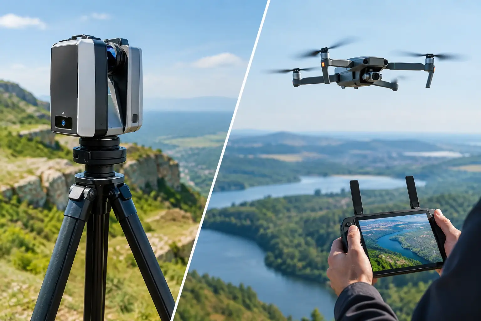
LiDAR scanning versus photogrammetry: compare accuracy, speed, cost, and visual output to choose the right spatial capture method for your project needs.
LiDAR Scanning Versus Photogrammetry Compared
A luxury showroom can look exceptional in a photogrammetry model yet be unsuitable for measured renovation work. A warehouse can be captured with highly accurate LiDAR data but still need high-resolution imagery to communicate its condition to remote stakeholders. LiDAR scanning versus photogrammetry is not a contest with one permanent winner. It is a project decision shaped by the accuracy required, the environment being captured, the final deliverable, and the business outcome behind it.
For developers, architects, facility teams, hospitality operators, and property marketers, choosing the right method early prevents wasted capture time, incomplete data, and digital assets that do not support the intended use. The goal is not simply to create a 3D model. It is to create a reliable digital representation of a physical space that improves decisions, engagement, or operational control.
LiDAR Scanning Versus Photogrammetry: The Core Difference
LiDAR, short for Light Detection and Ranging, measures distance by sending laser pulses toward surfaces and recording the return signal. The result is a point cloud: a large collection of spatial coordinates that represent the geometry of a room, building, site, or asset. Because each point has a known position in three-dimensional space, LiDAR is particularly valuable where measurement confidence matters.
Photogrammetry builds a 3D model from overlapping photographs. Software identifies matching visual features across many images, calculates camera positions, and reconstructs surfaces, textures, and depth. It can produce visually rich models with realistic color and detail, especially when images are captured in controlled lighting with sufficient overlap.
The practical distinction is simple. LiDAR is measurement-led. Photogrammetry is image-led. Both create spatial data, but they begin with different evidence and perform differently in real-world conditions.
When Accuracy Drives the Decision
LiDAR is usually the stronger choice for as-built documentation , Scan-to-BIM workflows, clash checks, renovation planning, and facility measurement. Its point clouds provide a dependable basis for extracting dimensions, modeling existing conditions, and comparing site progress against design intent.
That does not mean every LiDAR scan automatically meets the same tolerance. Accuracy depends on the scanner specification, scan registration, site conditions, capture approach, and quality assurance process. A professional terrestrial scanner, for example, serves a different purpose from a consumer mobile device with a depth sensor. The required level of confidence should be established before capture, particularly when data will inform design, fabrication, or construction decisions.
Photogrammetry can also achieve strong results, particularly on facades, roofs, terrain, and large outdoor sites captured by drone. With ground control points, appropriate camera calibration, and disciplined processing, aerial photogrammetry can support mapping and volumetric analysis effectively. Yet it is generally more sensitive to image quality, surface texture, shadows, reflective materials, and insufficient overlap.
For an interior retrofit where a structural column, ceiling service, or wall position must be modeled accurately, LiDAR provides the more defensible foundation. For a resort’s exterior landscape where presentation, context, and aerial perspective matter most, photogrammetry may deliver greater value per capture.
Geometry is not the same as appearance
A useful 3D asset needs both spatial reliability and clear visual communication, but these are separate requirements. LiDAR can capture geometry effectively in low light and across large interiors, although raw point clouds do not always look polished to nontechnical audiences. Photogrammetry can produce realistic textures that make materials, finishes, and visual character easy to understand, but those images do not automatically guarantee reliable measurements.
This distinction matters when teams request “a 3D model” without defining what they need it to do. A marketing team may need visual realism and easy online navigation. An engineering team may need verified geometry. A property owner managing a nationwide portfolio may need both, organized into a digital twin environment that remains useful beyond the first viewing.
Capture Conditions Can Change the Answer
Indoor spaces often favor LiDAR because rooms can have limited visual features, inconsistent lighting, and complex geometry. Corridors, plant rooms, warehouses, and partially finished construction sites may contain plain walls, repetitive surfaces, or low-light zones that challenge image-based reconstruction. LiDAR can continue measuring surfaces where photography alone has limited reference detail.
Photogrammetry is highly effective when subjects have visible texture and when images can be captured with consistent exposure and adequate overlap. Historic buildings, textured facades, retail displays, landscaped areas, and product-scale objects can benefit from the visual richness it produces.
Certain materials challenge both methods, but in different ways. Glass, mirrors, water, polished metal, and highly reflective finishes can create incomplete or misleading data. LiDAR may experience reflections or pass through glass, while photogrammetry can struggle to find stable matching features on shiny or transparent surfaces. Dense vegetation can also complicate interpretation, since movement from wind affects image alignment and laser returns may strike different layers of foliage.
A site assessment before capture is therefore more valuable than selecting a technology from a specification sheet. It identifies access restrictions, lighting conditions, safety requirements, reflective surfaces, operating hours, and the locations where additional imagery or manual verification may be required.
Speed, Coverage, and Cost Are More Than Capture Time
It is tempting to compare methods by how quickly a team can move through a site. That is only part of the equation. The true project timeline includes planning, field capture, data transfer, processing, quality checks, model production, revisions, and delivery in a usable format.
LiDAR scanning can be efficient for complex interiors because the operator is collecting dimensional data directly. However, large sites require thoughtful scan positions, registration, and validation. The downstream value can be substantial when the data reduces repeat site visits, resolves measurement disputes, or gives architects and contractors a shared as-built reference.
Photogrammetry can cover extensive outdoor areas quickly, especially from a drone. Its field work may be rapid, but processing large image sets and correcting weak areas can add time. Weather also becomes a direct scheduling factor for aerial work. Cloud cover, wind, rain, and changing shadows affect both flight safety and output consistency.
Cost should be evaluated against the decision the asset will support. A lower-cost capture becomes expensive if it cannot be used for the required design, marketing, or operations workflow. Conversely, survey-grade LiDAR may be unnecessary for a short-term campaign where the priority is a compelling visual story and broad online reach.
Choosing the Right Output for the Business Need
The best method is often determined by the final deliverable rather than the capture device. For Scan-to-BIM, measured floor plans, as-built documentation, construction coordination, and industrial facility planning, LiDAR-led capture is usually appropriate. The point cloud can support BIM modeling, dimensional analysis, and accurate spatial coordination.
For drone mapping , roof inspection context, land visualization, and detailed exterior textures, photogrammetry can be the practical lead technology. It creates realistic orthomosaics, meshes, and visual models that help stakeholders understand a site without being physically present.
For real estate, hospitality, retail, and event venues, the strongest result may combine approaches. LiDAR-based spatial capture can establish the navigable structure of a digital twin, while high-quality photography, 360 imagery, drone visuals, and CGI elements improve the presentation. This combination gives potential buyers, guests, tenants, or investors a more credible way to experience a space remotely while giving internal teams a useful record of it.
Hybrid workflows create more useful digital assets
The question is often not LiDAR or photogrammetry, but where each should contribute. A mixed-use development may use LiDAR for interior as-built conditions, drone photogrammetry for the building envelope and surrounding site, and professional photography for leasing and sales materials. A manufacturer may use LiDAR for equipment layout and clearance planning, supported by panoramic imagery for maintenance orientation and staff training.
Combining datasets requires disciplined alignment, clear coordinate control, and an agreed purpose for each output. More data is not automatically better. The right data is the data that can be interpreted, shared, and acted on by the teams who need it.
Questions to Settle Before You Capture
Before committing to either method, clarify four project decisions: the required measurement tolerance, the expected deliverables, the intended users, and the decisions the data must support. These answers determine whether the project needs a point cloud, BIM model, orthomosaic, textured mesh, virtual tour, floor plan, or an integrated digital twin.
It is also worth defining how long the asset should remain useful. A campaign asset may only need to support a launch period. An operational model for a hotel, factory, or commercial portfolio should be structured for future updates, remote collaboration, asset documentation, and system integration.
For projects across Malaysia and Southeast Asia, practical conditions also matter. Tropical weather, active construction sites, occupied buildings, and travel between dispersed locations all increase the value of a capture strategy that gets the required information right the first time.
A well-scoped spatial capture project turns a physical site into more than a collection of visuals or measurements. It gives your team a clearer basis to market, plan, manage, and communicate around the spaces that drive your business.