
Drone site documentation: brief repeatable aerial records
Brief drone site documentation with a viewpoint register, dated files, coverage notes and review criteria so teams can compare visible site changes over time.
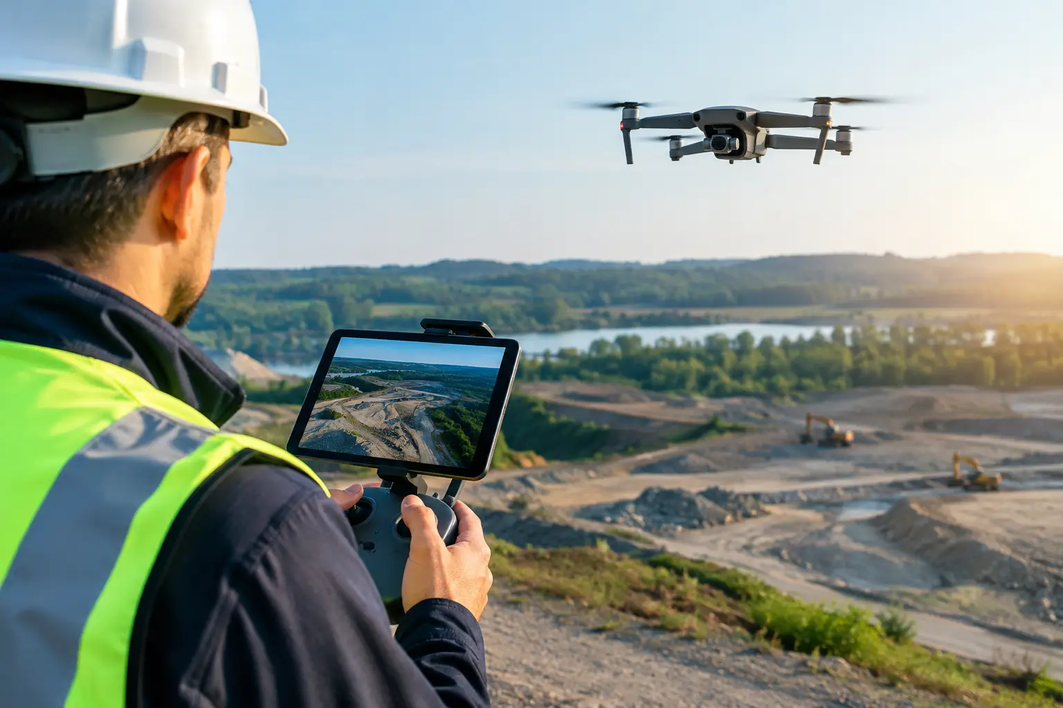
Brief drone site documentation with a viewpoint register, dated files, coverage notes and review criteria so teams can compare visible site changes over time.
Drone site documentation: brief repeatable aerial records
Drone site documentation is most useful when a later reviewer can identify what was recorded, where the camera was looking and how the view relates to earlier visits. An attractive aerial image alone does not establish progress, quantities or the quality of completed work.
This guide focuses on the capture brief for repeat visits. It complements a wider construction progress programme by defining how aerial records will be collected, named and compared.
Start with the question for each view
For a development, the question might concern visible changes to a work zone, the relationship between access routes and construction activity, or the overall state of the site at a reporting milestone. A hotel or venue team may instead need a dated record of external works and surrounding access.
List those questions before specifying a drone or requesting a “3D model”. Some need a labelled photograph. Others require a separately scoped mapping or measurement workflow. Choosing the output first can produce files that do not answer the project team’s question.
Create a viewpoint register
Give each repeat view a reference, a description of the area it should show and an agreed example image or marked plan. Record the intended orientation and the features needed for comparison. The operator must determine what can be captured safely and lawfully on each visit.
- Site overview showing the agreed boundary and orientation.
- Zone views tied to the project’s reporting areas.
- Selected access or interface views where these serve a defined question.
- Additional views for changed conditions, labelled separately from the repeat set.
Repeatable coverage does not mean identical conditions. Weather, temporary obstructions, site activity and operating restrictions may change the available view. Record those differences so reviewers do not mistake missing coverage for missing work.
Specify the delivery, not just the flight
Ask for a capture date, viewpoint references, readable file names and a short coverage note. Agree whether the delivery includes selected images, a contact sheet, annotated views or an aerial panorama. Clarify whether original files will be retained and who can access them.
A practical file reference combines the project, date, zone and viewpoint. Keep edited reporting copies separate from the retained source record. When an annotation is corrected, issue a new version rather than silently replacing the earlier one.
Keep visual comparison separate from measurement
Two photographs can show visible change, but different camera positions and perspectives can mislead comparisons. They do not establish completion percentages, stockpile volumes, certified boundaries or conformity with drawings.
If the decision requires measurements, agree the coordinate reference, control method, deliverable format and independent checks with the appropriate specialist. Do not assume every photogrammetry model is suitable for survey or design use.
Aerial imagery also cannot establish concealed conditions or the state of areas outside its line of sight. Where interiors or detailed existing geometry matter, discuss complementary LiDAR and reality capture or ground-level documentation. Each method has its own coverage limits.
Agree access and constraints before booking
Provide the location, site contact, intended coverage, sensitive areas and proposed dates. The operator should confirm the applicable permissions, airspace and site requirements for the actual operation. This brief is not a substitute for operational approval.
Allow for weather and site restrictions. Define how a cancelled or partial visit will be reported and rescheduled. Arrange authorised access and avoid distributing imagery containing sensitive operations or identifiable people beyond the approved audience.
Set a reporting rhythm and acceptance check
Choose visits around meaningful milestones and the rate of visible change. A fortnightly or monthly record may suit some projects; others need specific milestone visits. The interval should follow the reporting need and feasible access.
Before accepting a delivery, check that the date and location are clear, viewpoint references match the register, coverage gaps are disclosed and files open in the agreed format. Have the project team interpret the images alongside site reports and professional inspections.
Novo’s aerial 360 and drone services can be scoped around the site and intended output. Send the location, reporting question and required dates to discuss a suitable documentation brief.