

Facility Digitization That Improves Building Decisions
Facility digitization turns buildings into usable digital assets, improving maintenance, planning, safety, and remote decision-making for teams.
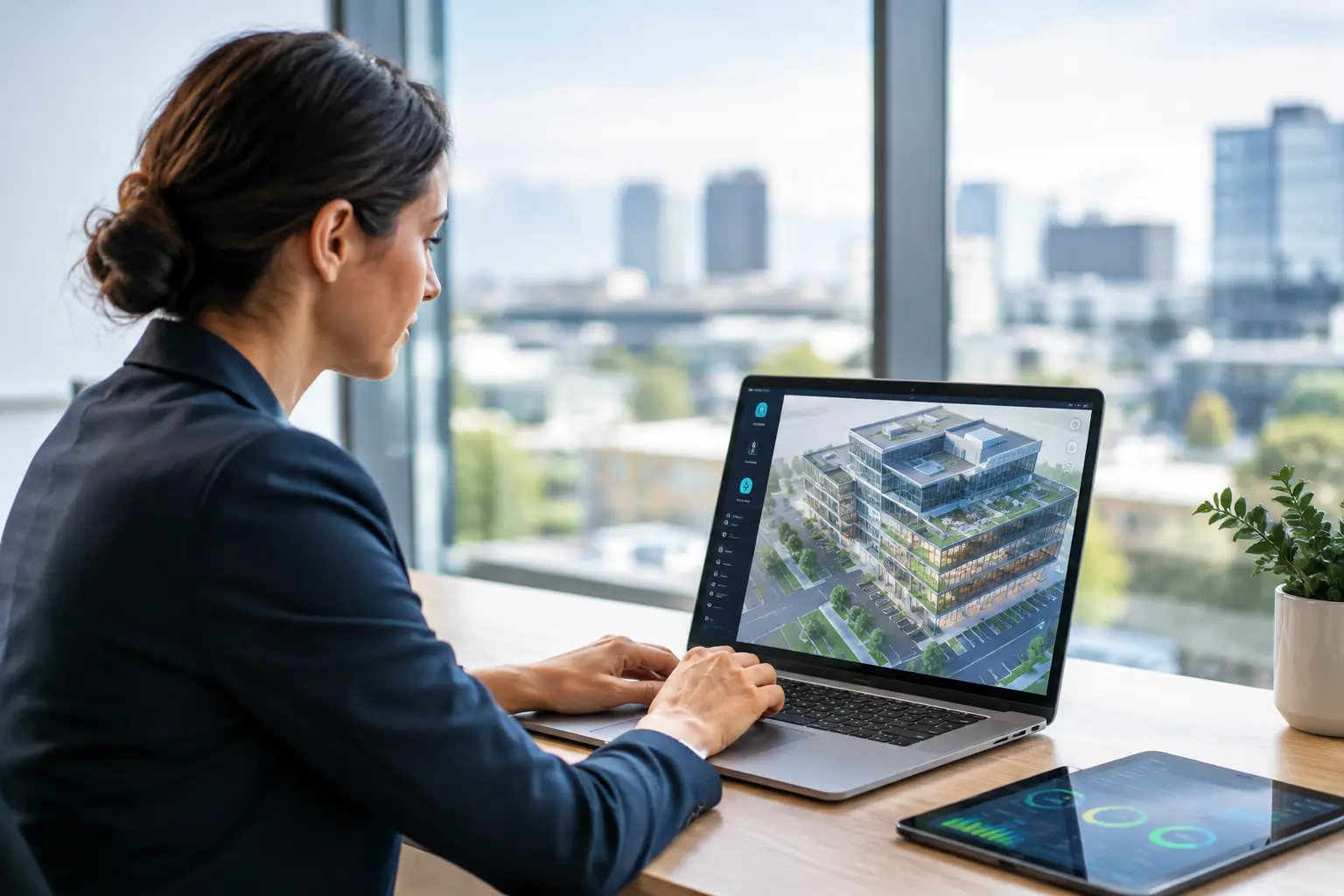
Facility digitization turns buildings into usable digital assets, improving maintenance, planning, safety, and remote decision-making for teams.
Facility Digitization That Improves Building Decisions
A facility manager receives a request to assess a rooftop plant room, verify an asset location, and support a contractor before the next maintenance window. Without current spatial documentation, the work may require site visits, phone calls, outdated drawings, and avoidable delays. Facility digitization changes that equation by turning the physical environment into an accessible digital asset that teams can inspect, understand, and use to make decisions.
For commercial buildings, factories, warehouses, campuses, hotels, and large venues, digitization is not simply a better-looking virtual tour. It is a practical way to connect accurate spatial information with maintenance, planning, safety, stakeholder communication, and capital improvement work. The strongest programs begin with a clear business use case, then select the level of capture, data, and integration needed to support it.
What Facility Digitization Actually Means
Facility digitization is the process of capturing a physical site and converting it into structured digital information. Depending on the operational requirement, the result may include a navigable digital twin , LiDAR point cloud, 360-degree visual record, measured floor plan, 3D model, Scan-to-BIM deliverable, asset data layer, or a combination of these.
The distinction matters. A virtual walkthrough can help remote stakeholders understand a space quickly, but it may not be precise enough for renovation design. A dense LiDAR scan can provide highly accurate geometry for as-built documentation, but it requires the right workflows and modeling scope to become useful to a broader facilities team. There is no single output that suits every building.
A well-planned digital facility becomes a shared reference point. Operations teams can verify conditions before dispatching staff. Project teams can review access constraints and existing geometry before design begins. Executives, tenants, insurers, or external contractors can gain visibility without needing immediate physical access.
Why Buildings Need a Usable Digital Record
Many facilities still operate with fragmented information. Floor plans may not match site conditions. Equipment schedules may be stored separately from maintenance records. Photos from previous inspections may be difficult to search or lack enough context to show where they were taken. When information is disconnected, each new project starts with a degree of rediscovery.
That cost is often hidden until a time-sensitive decision exposes it. A refurbishment team arrives to find dimensions differ from the archived plan. A vendor needs a site survey for a task that could have been scoped remotely. A safety review depends on someone remembering the exact layout of an infrequently accessed area.
Facility digitization reduces this dependency on memory, informal knowledge, and repeated site visits. It gives teams a visual, measurable representation of the environment and preserves a reliable baseline for future work. For organizations managing multiple locations, consistency is especially valuable. A standardized capture and documentation approach makes it easier to compare sites, brief vendors, and maintain governance across a portfolio.
The Commercial and Operational Value of Facility Digitization
The return on digitization does not come from the scan itself. It comes from decisions made faster, site visits avoided, rework reduced, and stakeholders aligned earlier.
Faster Planning Before Work Begins
Before maintenance, renovation, fit-out, or equipment replacement, teams need to know what exists on site. A digital twin or 3D spatial model lets them review circulation paths, ceiling clearances, service areas, room adjacencies, and visible conditions before committing resources.
For a warehouse operator, this may support layout changes or racking assessments. For a hotel operator, it can help coordinate guest-area upgrades with less disruption. For an industrial site, it can provide a clearer view of access routes and constraints before bringing in specialist contractors.
Remote review does not eliminate the need for physical validation in every case. Critical measurements, concealed services, compliance checks, and complex engineering decisions still require appropriate site verification. However, a high-quality digital record allows teams to reserve those visits for work that genuinely needs them.
Better As-Built Information for Capital Projects
Renovation projects frequently begin with incomplete or unreliable source drawings. Scanning a facility with LiDAR creates a detailed spatial record that can support Scan-to-BIM workflows , measured drawings, clash assessment, and design coordination.
The appropriate level of detail depends on the project. A simple planning exercise may need floor plans and key dimensions. A major redevelopment may require a coordinated BIM model with architectural, structural, and MEP elements modeled to an agreed scope. Modeling every visible object is not automatically better – it can add cost and time without improving the project outcome.
The productive question is: what information must the design, construction, or facilities team trust? Defining that answer before capture helps ensure the deliverable is useful rather than excessive.
More Confident Remote Decisions
Remote decision-making is now a standard operating requirement for regional property portfolios. Asset owners, leasing teams, consultants, insurers, and management teams may be working from different cities or countries. Static photographs provide selected views; they do not provide a coherent understanding of the whole environment.
Interactive digital environments allow stakeholders to move through a site at their own pace, revisit areas during meetings, and discuss decisions with a shared visual reference. This is valuable for commercial leasing, venue sales, hospitality planning, insurance condition documentation, and vendor onboarding.
For organizations across Malaysia and Southeast Asia, this capability can shorten the gap between an on-site condition and a regional decision. It also helps local teams communicate facility issues more clearly to stakeholders who cannot attend in person.
Safer, More Effective Training and Coordination
Complex facilities carry knowledge that is difficult to transfer through text-based procedures alone. A visual representation of plant rooms, loading bays, restricted areas, escape routes, or process zones can make orientation more practical for new staff and contractors.
Digital spatial documentation should not replace safety training, permits, or formal operating procedures. It can, however, improve preparedness by helping people understand the physical context before they arrive. When paired with accurate annotations and current documentation, it supports more informed conversations about access, hazards, and work sequencing.
Choosing the Right Digital Capture Strategy
A facility digitization program should be designed backward from the decisions it needs to support. The first question is not, “Which camera or scanner should we use?” It is, “What must our teams be able to see, measure, verify, or communicate after the project is complete?”
A marketing-led requirement may prioritize a polished virtual experience, strong visual presentation, and easy sharing. An operations-led requirement may prioritize asset context, measurement accuracy, searchable records, and long-term update planning. A construction-led requirement may require point clouds, Scan-to-BIM outputs, coordinate control, and specifications aligned with consultant workflows.
These needs can overlap, but they should not be assumed to be identical. For example, a Matterport digital twin may be highly effective for remote walkthroughs and stakeholder engagement, while LiDAR data and BIM modeling are better suited to technical planning. Combining them can create a powerful outcome, but only when the scope is tied to real use cases.
A Practical Framework for Implementation
Start by identifying one or two high-value workflows where missing spatial information causes measurable friction. This might be recurring contractor visits, delayed renovation planning, slow approval cycles, inconsistent as-built drawings, or difficulty presenting a large facility to remote stakeholders.
Next, define the required outputs and accuracy. Establish which areas need capture, whether exterior or aerial imaging is needed, who will use the data, how long it must remain useful, and whether the facility is likely to change frequently. A large factory with ongoing equipment changes needs a different update plan than a stabilized office property.
Then, set standards for naming, access, ownership, and updates. A digital twin becomes less valuable if users cannot find it, do not know whether it reflects current conditions, or have no process for updating it after major changes. Governance may sound administrative, but it determines whether the asset remains useful after the initial launch.
Finally, measure the outcome. Track site visits avoided, time saved in project scoping, reduction in survey duplication, speed of stakeholder approval, or improvement in leasing and venue inquiry quality. The most persuasive business case is based on the friction that has actually been removed.
Treat the Facility as a Living Asset
The most effective facility digitization initiatives do not treat spatial capture as a one-time media project. They establish a practical digital baseline that can support operations, projects, marketing, and communication over time.
Novo Reperio approaches this work by matching digital twin, LiDAR mapping, Scan-to-BIM, and immersive visualization outputs to the commercial and operational decisions a space must support. The goal is not to digitize every square foot for its own sake. It is to create a reliable digital asset that makes the next decision easier, clearer, and better informed.
When a facility can be understood before people travel, measured before design begins, and communicated without ambiguity, the building stops being a source of information delays. It becomes an active part of how the organization plans and performs.