
Drone orthomosaics versus satellite imagery: choose by use
Compare drone orthomosaics and satellite imagery by coverage, capture date, detail and checking requirements before commissioning site information.
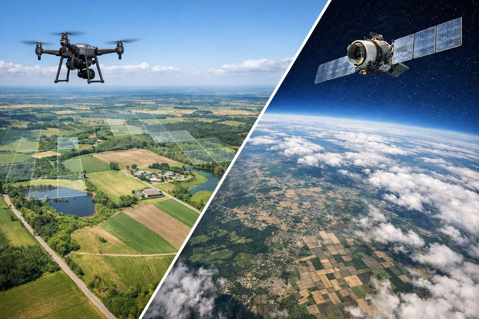
Drone orthomosaics and satellite imagery serve different coverage, timing and detail needs. Compare the available datasets and their documented characteristics for the actual task. Neither source should be assumed current, unobstructed or suitable for measurement without checking its limitations.
Compare the available information
For a broad location review, existing satellite imagery may be sufficient if its date and detail are suitable. A commissioned drone capture can target a particular site and agreed timing, subject to feasibility and permissions. Compare the actual products rather than treating every drone image as more accurate or every satellite image as outdated.
Keep visual context and mapped outputs distinct
Check cloud, shadows, obstructions, coverage boundaries and the coordinate information supplied with each dataset. If the output supports measurements or repeat comparisons, agree how accuracy and consistency will be verified. An aerial 360° tour is a third format: it helps a visitor look around a place, while an orthomosaic is a map-like image requiring its own processing and checks.
What to include in your project brief
- Specify area, date and decision.
- Compare actual detail and visibility.
- Check capture feasibility and permissions.
- Review reference information and limitations.
- Choose a suitable licence and export format.
Real Novo projects relevant to this guide
The MAEPS project illustrates Novo aerial 360° context. It is not a published drone-versus-satellite survey comparison or an orthomosaic dataset.
MAEPS — Virtual Tour + Aerial 360° Content. Explore event spaces and site surroundings before planning a visit.
Questions before you commission
Is drone capture always the better choice?
No. Existing imagery can be enough for some broad reviews. A new capture needs a clear information requirement that justifies its cost and practical constraints.
Can imagery from different dates be compared directly?
Review differences in viewpoint, reference, resolution and conditions first. Apparent visual differences do not automatically establish a measured physical change.