
Drone orthomosaic accuracy: specify how it will be checked
Understand drone orthomosaic accuracy through reference data, capture conditions and independent checks, and distinguish a mapped image from an aerial tour.
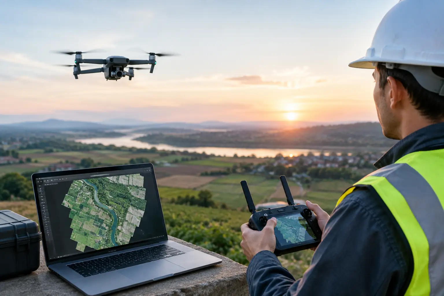
Drone orthomosaic accuracy depends on the capture, processing and reference system, and should be assessed with checks appropriate to the intended use. Pixel size or a visually sharp image is not enough to establish positional accuracy. Ask for the agreed verification evidence.
Write the accuracy requirement into the brief
State what will be measured or compared and the tolerance that decision requires. Identify the coordinate reference, coverage and conditions that could affect visibility. Distinguish relative measurements within the output from its position in a wider reference system. The provider should explain the proposed control and checking process in terms the receiving survey or design team can review.
Review evidence rather than image appearance
Independent check information helps assess an output separately from the points used to produce it. Keep the processing report, capture dates and stated limitations with the map. Inspect gaps, edges, reflective surfaces and obstructed areas before relying on a result. Aerial panoramas can be valuable for visual orientation, but their usefulness does not establish the geometric quality of a separate orthomosaic.
What to include in your project brief
- Define the measured task and tolerance.
- Specify coordinates, coverage and units.
- Agree control and independent checks.
- Request processing and uncertainty information.
- Confirm permitted use and handover formats.
Real Novo projects relevant to this guide
MAEPS is a real Novo aerial-tour project. Its published scope is a visual experience, not an orthomosaic accuracy benchmark or evidence of a surveyed mapping deliverable.
MAEPS — Virtual Tour + Aerial 360° Content. Explore event spaces and site surroundings before planning a visit.
Questions before you commission
Does higher image resolution guarantee accuracy?
No. Resolution describes image detail. Geometric accuracy also depends on reference information, capture geometry, processing and the verification method.
What should accompany a commissioned orthomosaic?
Agree the map format, coordinate reference, capture date, coverage, check results and limitations with the receiving team before fieldwork.