
BIM-ready point clouds: agree requirements before capture
Plan a BIM-ready point cloud workflow for an existing building through source requirements, coordinates, review and handover, with verified capture context.
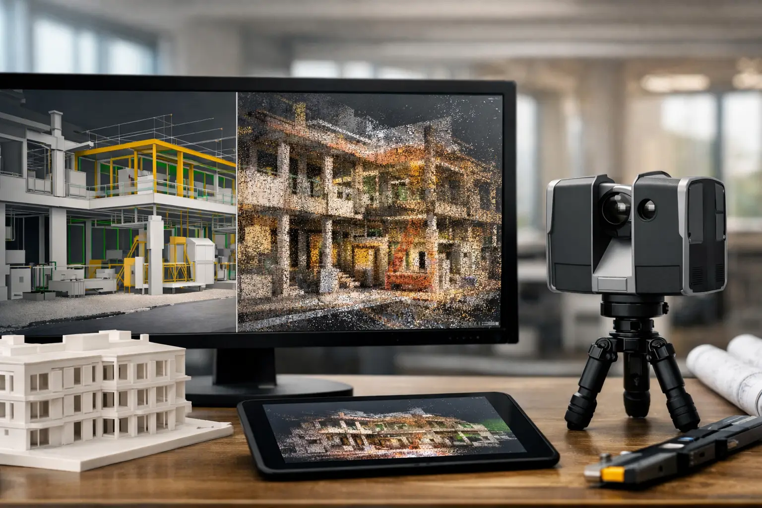
BIM-ready is a project requirement to define, not a guarantee attached to every point cloud. Agree the model purpose, coordinate reference, coverage, required detail and checks before capture, then confirm which modelling and handover work is separately included.
What makes a point cloud suitable for the intended BIM workflow?
As-built drawings are almost always wrong. A BIM-ready point-cloud workflow closes that gap: LiDAR captures the building exactly as it is today, and downstream modellers convert the cloud into an accurate BIM that design teams can trust. The result is fewer surprises in coordination, fewer clashes on site, and a much shorter path from survey to delivery.
Key points
- LiDAR captures the building's true current state.
- Point cloud is registered and cleaned before modelling.
- Scan-to-BIM converts the cloud into LOD 200–350 as-built models.
- Design teams coordinate against reality, not out-of-date drawings.
Real Novo projects relevant to this guide
The KLCC project publicly names BLK360 LiDAR capture. Its tour record does not specify point-cloud exports or a BIM handover, so it is used only to distinguish capture from separately agreed modelling work.
Kuala Lumpur Convention Centre — Virtual Tour + Aerial 360° Content. Review event spaces and circulation before a site visit.