

Aerial Analytics for Smarter Site Decisions
Aerial analytics turns drone imagery into actionable site intelligence for property, construction, and facilities teams making faster, better decisions.
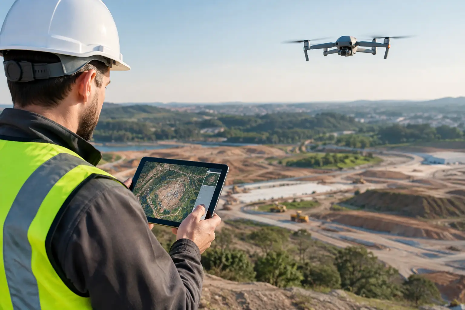
Aerial analytics turns drone imagery into actionable site intelligence for property, construction, and facilities teams making faster, better decisions.
Aerial Analytics for Smarter Site Decisions
A construction site can look active from ground level while a missing drainage connection, inaccessible roof area, or uneven stockpile quietly creates delay and cost. Aerial analytics changes that perspective. It converts drone-captured imagery, LiDAR, and spatial data into measurable intelligence that teams can use to market assets, validate progress, assess risk, and make decisions without relying on incomplete site visits.
For developers, contractors, facility operators, and property marketers, the value is not simply seeing a site from above. The value is creating a current, shareable record of physical reality that can be compared, measured, and connected to the wider digital workflow.
What aerial analytics actually delivers
Aerial analytics is the process of collecting aerial data and analyzing it to answer a business or operational question. The input may be high-resolution photography, video, thermal imagery, photogrammetry, or LiDAR point clouds. The output should be more useful than a gallery of drone images: orthomosaic maps, elevation models, volumetric calculations, inspection views, progress comparisons, and spatially accurate documentation.
That distinction matters. A cinematic aerial video may strengthen a property launch, but it does not establish quantities or confirm as-built conditions. Conversely, a detailed point cloud may support engineering coordination but may not be the right marketing asset for a prospective buyer. The capture method, accuracy requirement, and final deliverable need to follow the decision the client needs to make.
For a commercial development, aerial analytics can show site context, access routes, neighboring amenities, construction progress, and roof geometry. For an industrial facility, it can document external assets, drainage, parking circulation, perimeter conditions, and hard-to-reach structures. In hospitality, it can communicate the relationship between a resort, its landscape, surrounding attractions, and waterfront or golf facilities in a way static photography cannot.
From drone flight to decision-ready data
Useful aerial intelligence is built before the drone takes off. A reliable project begins with a defined scope: What needs to be measured, documented, sold, or inspected? Which areas require precision? Who will use the data, and in what format?
A typical workflow includes flight planning, controlled capture, processing, quality checks, analysis, and delivery into the client’s existing sales, construction, or facilities process. Ground control points and RTK-enabled workflows may be necessary where positional accuracy is critical. For visual marketing, the priority may instead be light, composition, movement, and a story that helps a remote audience understand the asset.
The right output depends on the use case:
- Orthomosaic maps create a corrected top-down view that teams can measure and annotate.
- 3D meshes and terrain models reveal grades, site contours, and spatial relationships.
- Point clouds support detailed modeling, coordination, and comparison with design intent.
- Volumetric reports estimate stockpile quantities, excavation, or fill requirements.
- Repeat capture establishes a visual and spatial record of construction progress over time.
Processing is where raw capture becomes operationally relevant. Image overlap, camera calibration, weather conditions, vegetation, reflective surfaces, and the quality of control data all affect results. A map that looks convincing is not automatically accurate enough for engineering or contractual decisions. Teams should be explicit about whether the deliverable is intended for visual reference, planning, measurement, or formal documentation.
Photogrammetry and LiDAR solve different problems
Photogrammetry uses overlapping images to reconstruct a three-dimensional model. It can produce highly detailed visual outputs and is often effective for open sites, facades, terrain, and asset marketing. It is a strong choice when texture, color, and broad coverage matter.
LiDAR measures distance using laser pulses. It is particularly valuable when teams need dense spatial data, when surfaces are complex, or when vegetation and low-light conditions make image-based capture less dependable. LiDAR does not replace photography in every assignment. It complements it, especially when a project requires dependable geometry rather than visual impact alone.
The best approach is often combined. Aerial LiDAR can establish large-scale site context, while terrestrial LiDAR and interior scanning capture buildings in greater detail. Photography can then provide the visual layer that makes the information easier for stakeholders to interpret. This creates a more complete digital representation of an asset, from surrounding land to interior spaces.
Where aerial analytics creates commercial value
In AEC, aerial capture gives project teams an independent view of site activity. Repeated flights can identify changes in access, material placement, earthworks, facade progress, and external works. When aligned with drawings, BIM models, or prior captures, the result is faster reporting and clearer conversations between owners, consultants, contractors, and remote stakeholders.
The benefit is not that a drone replaces site supervision. It does not. Ground verification remains necessary for many safety, quality, and compliance checks. Aerial data is most effective when it directs attention to areas that need closer review and gives decision-makers a shared visual reference before meetings begin.
For real estate and commercial leasing, the advantage is visibility. Aerial imagery places a building in its actual market context: transport links, surrounding districts, views, green space, neighboring developments, and access points. Combined with a Matterport digital twin or 360 virtual tour , it helps buyers and tenants move from broad location awareness to detailed property exploration without arranging an immediate visit.
For facilities and industrial operators, aerial analytics supports asset planning and safer inspection. Roofs, gutters, solar installations, cooling equipment, towers, yards, and perimeter infrastructure can be documented without sending personnel into every elevated or restricted area. The data can also support maintenance planning, contractor briefing, and condition records when disputes or insurance questions arise.
In Malaysia and across Southeast Asia, frequent rain, strong sun, dense vegetation, and rapidly changing construction sites add practical complexity. Capture schedules must account for weather windows, surface conditions, airspace restrictions, and the operational reality of an active site. A disciplined field plan is not an administrative detail. It protects data quality and avoids costly rework.
Aerial data works best when it connects to other spatial records
Aerial analytics becomes more valuable when it is not isolated in a folder after delivery. Its role is to connect physical conditions with the systems teams already use to sell, build, and manage space.
A developer may use aerial imagery as the opening context for an interactive virtual experience, then guide prospects into a digital twin of the sales gallery, show unit views, and present CGI of the completed project. A construction team may overlay drone-derived site data with BIM coordination models to review deviations and plan next steps. A facility manager may use a mapped exterior alongside interior scans and asset information to create a fuller operational record.
This connected approach also improves continuity. Projects change hands frequently, particularly across long construction programs and portfolio-scale property operations. A structured spatial record reduces the dependence on individual memory, scattered photographs, and outdated drawings. It gives incoming teams a clearer starting point and makes remote review more productive.
Accuracy, permissions, and privacy are part of the deliverable
Not every drone project should be treated as a survey project. If quantities, boundaries, elevations, or design tolerances will influence cost or construction decisions, define required accuracy before capture and use an appropriate control methodology. If the purpose is campaign content, speed and visual quality may carry more weight than survey-grade precision.
Flight permissions, site safety planning, pilot competence, insurance, and local aviation requirements also need to be addressed early. On occupied properties, privacy requires equal care. Cameras may capture neighboring homes, vehicles, staff, visitors, or sensitive operational areas. Clear flight boundaries, consent processes where applicable, and controlled access to deliverables protect both the client and the people on site.
A credible provider should explain these limits plainly. Precision is not a marketing claim. It is a project specification supported by the capture method, processing workflow, and quality assurance process.
How to scope an aerial analytics project that pays off
Start with the business question rather than the technology. If the goal is to accelerate leasing, define the audience, key selling angles, and channels where the assets will appear. If the goal is progress reporting, agree on capture frequency, comparison views, reporting format, and the project milestones that matter. If the goal is measurement, establish coordinate systems, accuracy requirements, and the professional team that will rely on the result.
It also helps to plan for repeatability. A single flight is useful for a launch campaign or condition record. A recurring capture program is more valuable when teams need to monitor change. Consistent flight paths, viewpoints, timing, and data standards make month-to-month comparisons more reliable and easier to understand.
Novo Reperio approaches aerial capture as part of a broader spatial visualization strategy. When drone mapping, LiDAR, digital twins, Scan-to-BIM , and high-quality visual content are planned together, each asset has a clearer role: attract attention, document reality, support coordination, or enable remote decisions.
The most effective aerial analytics project leaves the client with more than impressive footage. It leaves them with a usable view of the site, a clearer next action, and a spatial record that remains valuable long after the flight is complete.