Record permitted spaces and visible equipment for an agreed technical purpose.

 Assess my projectAssess my project↗︎
INDUSTRY 07 / DATA CENTRES, UTILITIES & CRITICAL INFRASTRUCTURE
MAKE COMPLEX CONDITIONS EASIER TO REFERENCE.
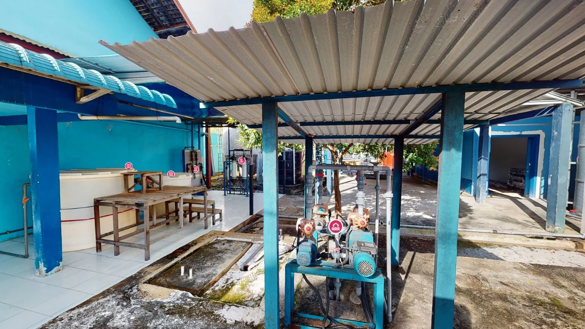
Controlled spatial documentation can support equipment-room records, MEP coordination, asset mapping and expansion planning in technically complex environments.
BUSINESS OUTCOMES / OPERATE · PLAN
Agree the information needed before capture begins.
Technical teams need accurate context while managing site access and information handling. Scope capture, permitted areas and deliverables with the site owner before work begins.
Use captured geometry and scoped models as references for multidisciplinary review.
Reference existing layouts when assessing access, space and proposed changes.
Create dated spatial documentation to support comparison and technical discussions.
POTENTIAL OUTPUTS
Digital assets shaped around the task.
Select capture methods and deliverables around the required use, site conditions and agreed scope.
- Scoped point clouds
- BIM/Revit or CAD references
- Asset-location records
- Dated spatial documentation
Explore how spatial technology could support your site.
EXPLORE SOLUTIONS ↗︎Explore relevant projects.
Choose a project to see the experience and its intended use.
Tell us what your space needs to achieve.
Novo will review the location, scale, intended use and required outputs, then recommend an appropriate capture and delivery approach.
DISCUSS YOUR SITE ↗︎